|
   |
|
Page 5 |
Newsletter 146 Autumn 2024 © Hampshire Mills Group |
|
Sea Mills of Kefalonia
Ruth Andrews
Photos by Keith and Ruth Andrews
|
Kefalonia is the largest of the Ionian Islands,
situated off the east coast of Greece, on the ‘Greek
subduction zone’, and it is subject to numerous
earthquakes. It is composed almost exclusively of
heavily-folded cretaceous limestone and has very
little surface water, so not a very promising place
to look for watermills.
We were attracted to the coast just north of the
major town of Argostoli where our map and guide book
indicated Katavothres Sea Mills, and a short
distance away Thalassomilos Sea Mill. The
whole of Kefalonia is a geosite so there was a
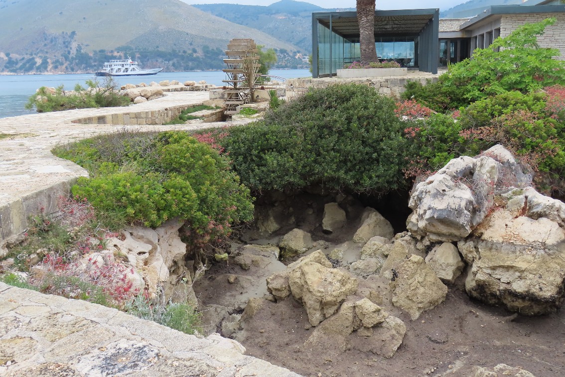
notice board explaining that sink holes by the beach
used the inflow of sea water to turn waterwheels
that powered mills and an ice factory. Two of the
watermills were destroyed during the 1953 earthquake
and, sadly, the flow of water into the sink holes
was reduced to a trickle. When we visited the
channels were dry, but I believe that at certain
phases of the tides there is still some flow.
|
|
|
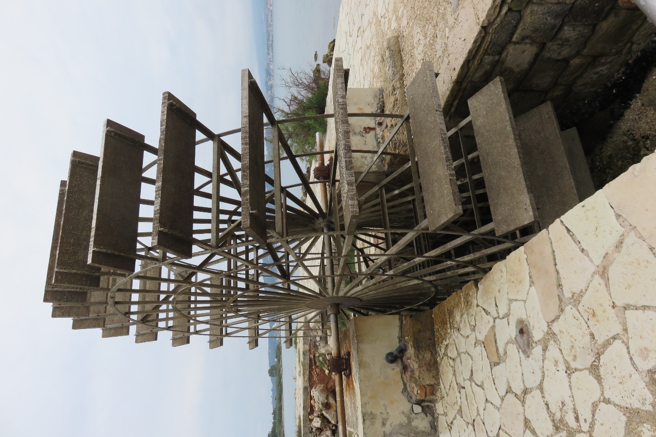
There is an attractive undershot waterwheel adorning
the site at Katavothres. |
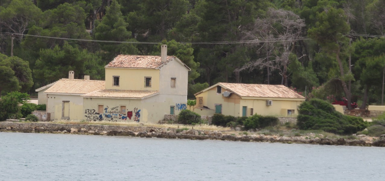
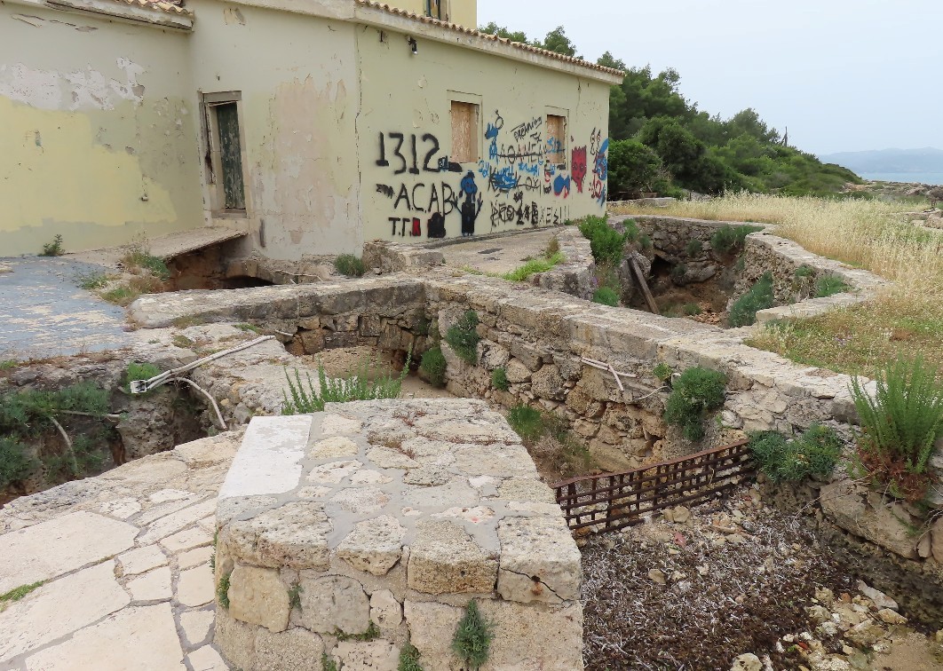
At Thalassomilos, 100m down the coast, there is a
very mill-like building, now closed up. It has a
similar set of sink holes and a channel under the
building where there would have been a waterwheel. |
 |
 |
 |
|
We were beginning to realising that our guide book
was tantalisingly lacking in information.
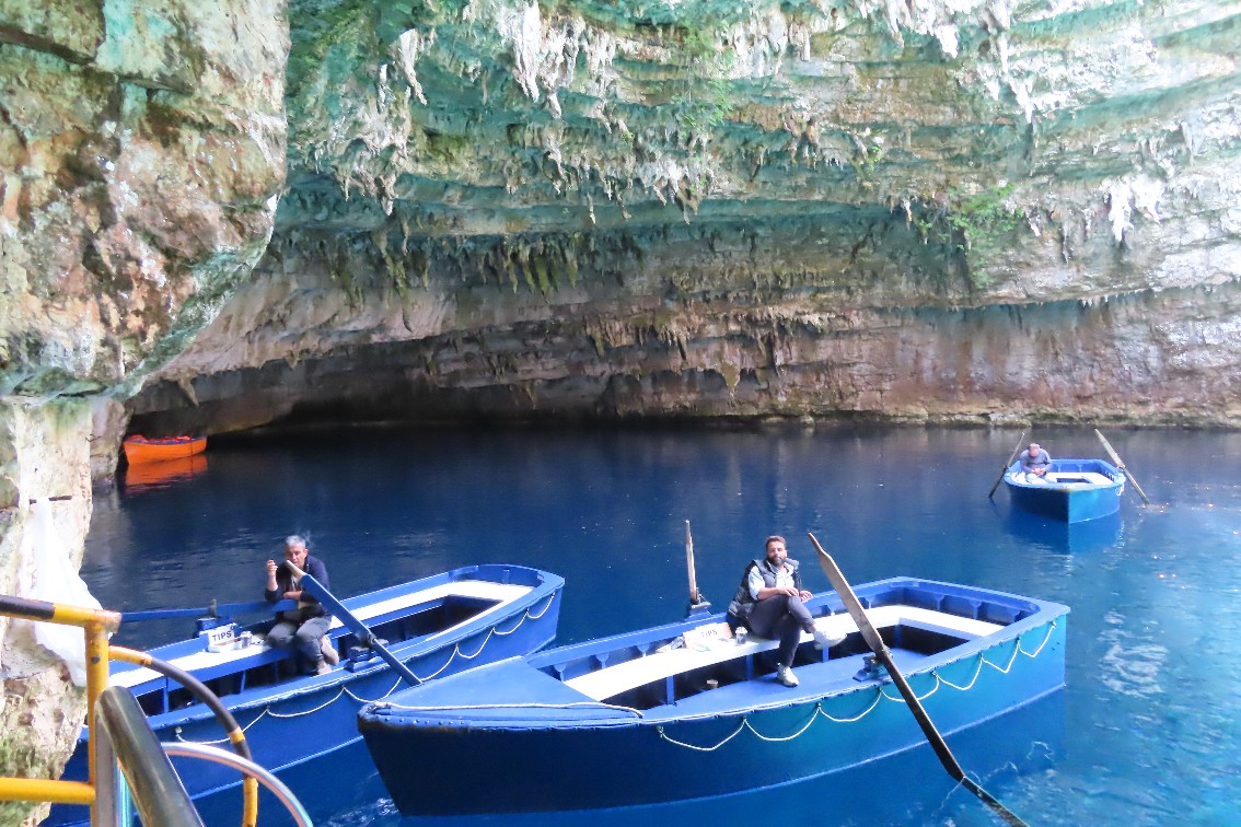
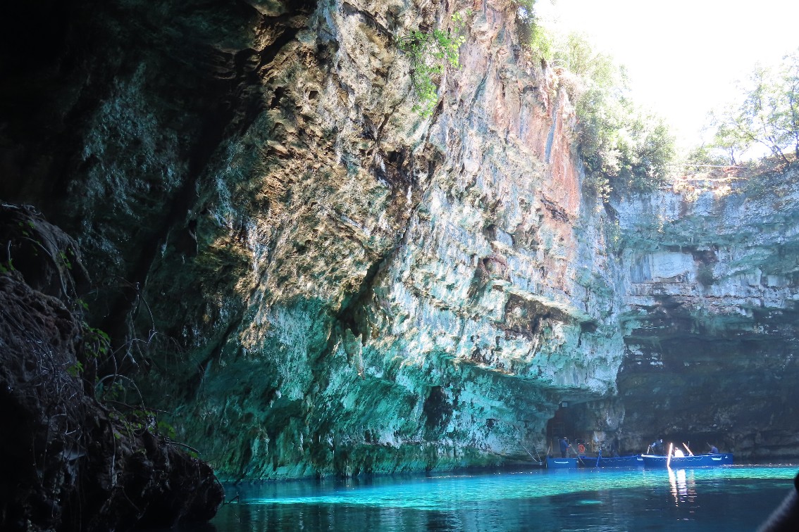
Our next clue came when we visited one of the
island’s tourist hot-spots, Melissani Cave and Lake,
which is a collapsed cave with an undergound lake
which is visited by boat. Again we found a geosite
board which said that it was linked to the rest of a
complex subterranean waterway that started at the
Katavothres sink holes on the west coast and ended
at the resurgent springs of Karavomilos, 15km away
on the east coast, near Sami. The continuity of the
system was confirmed in 1963 when uranium dye poured
into the sink holes emerged 14 days later in the
brackish springs at Karavomilos, fresh water getting
mixed in.
So looking more carefully at the map we located a
water mill at Karavomilos and went to look. Again
there was a geosite board, but we didn’t need it
because we found another waterwheel.
|
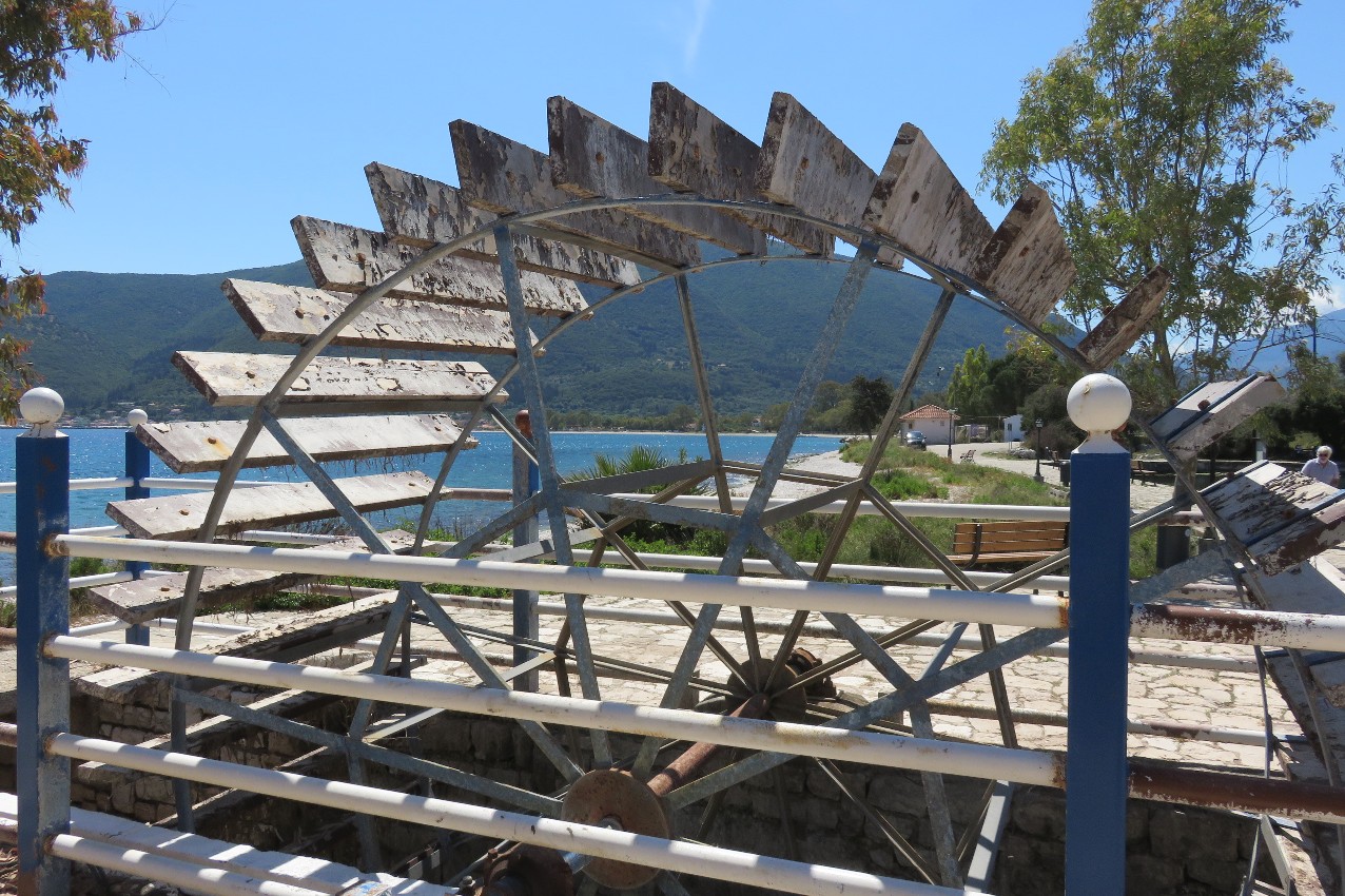
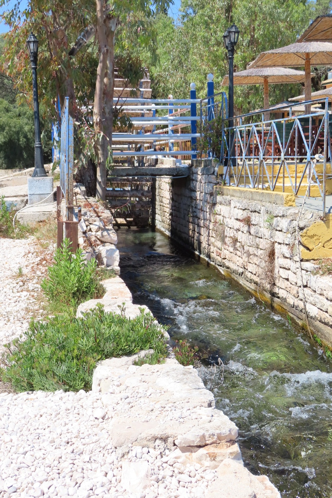
Apparently, since the 1953 earthquake the
subterranean passages beneath the island have
been
partially blocked due to rock collapses, but the
upsurge of water is still enough to create a small
lake, and allow the the siting of a wheel in the
outflow channel, but there are no related buildings
with it, and no indication of what it was used for. |
 |
| |
|
   |
|
|
